April 2025

#19 – Common vegetation indices related to crop biomass

Different vegetation indices can be used to process data from multi-spectral images from satellites or drones to valuable information on crop status and health. In this Agtech Letter, we introduce three indices that are related to the biomass of the crop, and can be used to estimate how healthy and dense the crop in a field is.

#19 – Common vegetation indices related to crop biomass Read More »

#18 – An introduction to vegetation indices used in agriculture

Vegetation indices computed from camera images captured by satellites or drones can be used to estimate the crop status for a field. In this Agtech Letter we walk you through the basics about vegetation indices – what they are and how to compute them. In the next couple of Agtech Letters we will look at specific indices.

#18 – An introduction to vegetation indices used in agriculture Read More »

#17 – Satellites as a tool for far-field sensing in agriculture

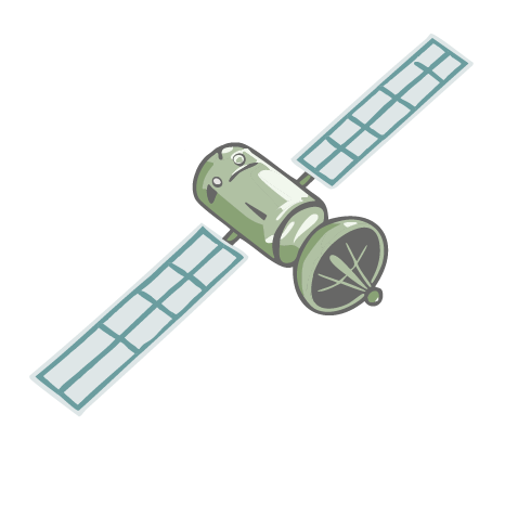
Satellites have been used to analyze fields and crops from the sky since the 1970’s, and since then the performance of the satellite sensing has increased in terms of resolution and quality. In this Agtech Letter, we look into what satellites are and how they can be used for monitoring fields, and in the coming three Agtech Letters we look more specifically at different measurements that can be done with them.

#17 – Satellites as a tool for far-field sensing in agriculture Read More »